© Lorem ipsum dolor sit Nulla in mollit pariatur in, est ut dolor eu eiusmod lorem
OLD RAILWAYS ON HORSEBACK
Bishop Auckland Railway Path
This was the Durham to Bishop Auckland Line built for transporting freight,
mainly coal from the mines in West County Durham. Built by the NER in 1842 it
was one of the railway lines expansion in the Durham County area. It opened to
passengers in 1857. Closure came in 1964 and the track was removed four years
later. The line was left derelict for 25 years until Durham County Council
developed it as a traffic free multi-user rail Trail.The trail is almost 9 miles long and
joins the Deerness Valley Way and the Lanchester Railway path. There's ample
chances to join and leave the Way to use it as part of a longer journey. If travelling
to/from the south end it may be beneficial to use The Weardale Way, a bridleway
to the east of the Bishop Auckland Way. It follows the river and rejoins the Way a
little further. You can access the minor road network at the south end of the way
without travelling along A689. Parking is near both ends.
Grid ref: NZ 253 414 Near Broompark just off B6302 and parking
Grid ref: NZ 205 306 Parking at the south end
https://en.wikipedia.org/wiki/Durham_to_Bishop_Auckland_Line#Background
https://www.durham.gov.uk/media/4400/Railway-Path-Auckland-
Way/pdf/RailwayPathAucklandWay.pdf?m=636735642536930000
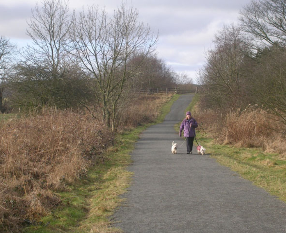
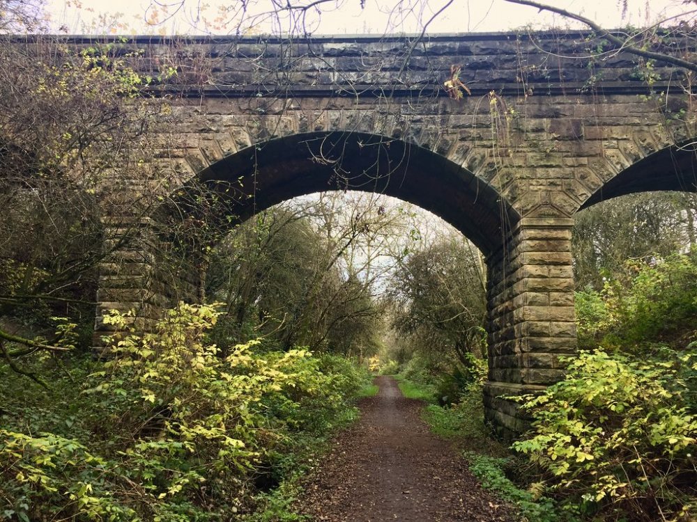
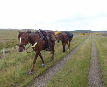
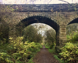
Bishop Auckland Railway Path east of Hunwick ©
Copyright Trevor Littlewood and licensed for reuse
under this Creative Commons Licence.
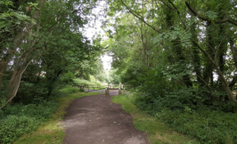
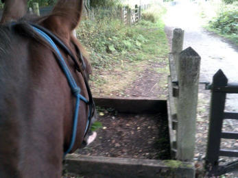
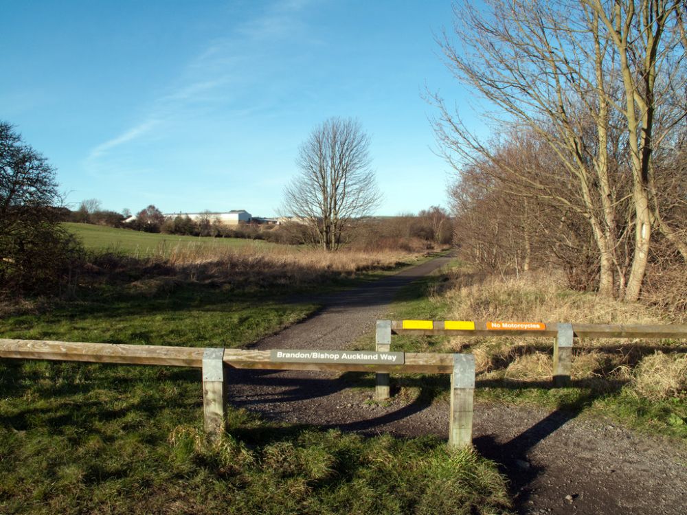
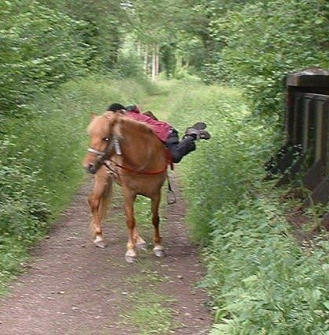
Bishop Auckland Way © Copyright Clive Nicholson
and licensed for reuse under this Creative Commons
Licence.
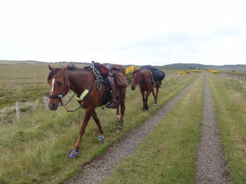
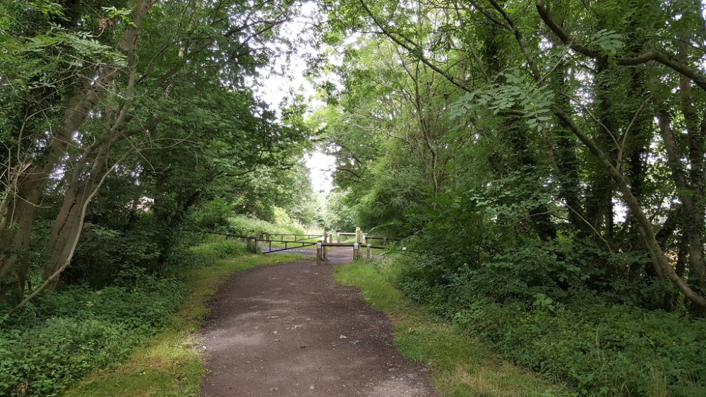
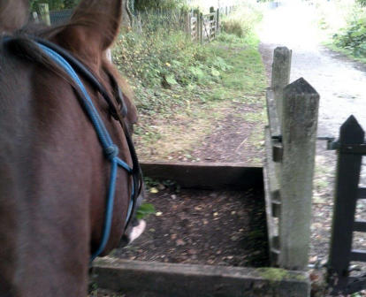
Bishop Auckland Way near Spennymoor © Copyright
David Robinson and licensed for reuse under this
Creative Commons Licence.

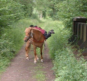
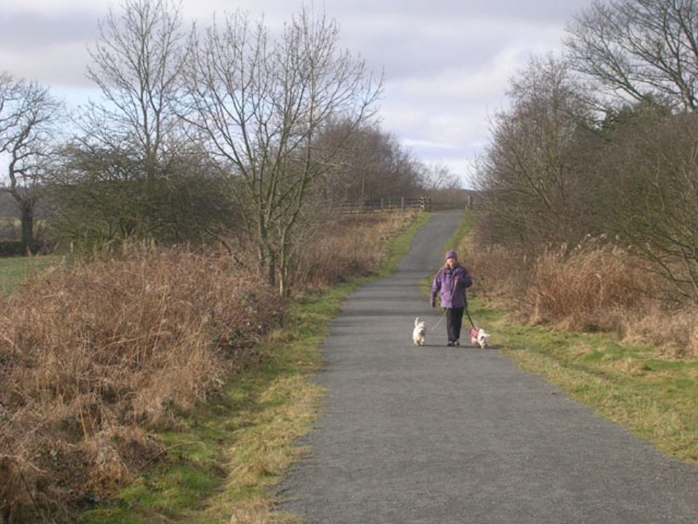
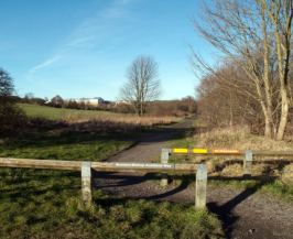
Bishop Auckland Way, near Brancepeth ©
Copyright Oliver Dixon and licensed for reuse
under this Creative Commons Licence.