© Lorem ipsum dolor sit Nulla in mollit pariatur in, est ut dolor eu eiusmod lorem
OLD RAILWAYS ON HORSEBACK
Ryhope to Seaham
Ryhope from the old English means Rough Valley and first mentioned In 930
AD. Located on the Durham coalfield the population abandoned agriculture
and went into coal mining. The first mine was opened in 1859. Railway lines
were introduced to the area, linking Ryhope to Sunderland, Seaham and other
Durham Coalfield mining villages. Now only a single railway line runs through
the village, and there is no longer a station. The colliery was closed in 1966.
Seaham was an agricultural farming community whose only claim to fame was
the marriage of Lord Byron to Anne Isabella Mirkbank at Seaham Hall. Coal
fields opened in the area in mid 1800s and railways were opened to transport the
coal to the South Docks in Sunderland due to the lack of capacity in Seaham
Harbour.
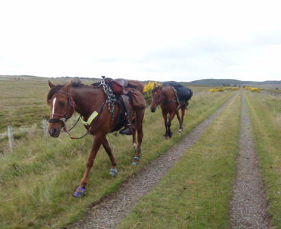
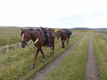
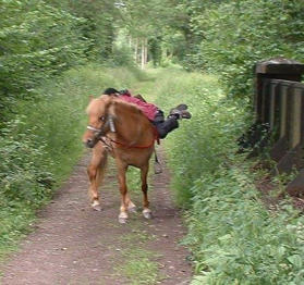
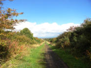
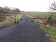
The disused Railway line running to South Hetton and connecting to Seaham is
now a walkway / cycle path and part of Sustrans route (1). Some signage we have
seen has demonstrates that horses can access the route and there are horse styles
along the way. The length of this route is just over 9 miles. If you prefer you can
continue from South Hetton southwards on the Haswell to Hart Countryside
Walkway.
Grid Ref: NZ 413 527 Ryhope - parking near.
Grid Ref: NZ 429 488 Seaham – Car park at Nose's Point NZ
436 478
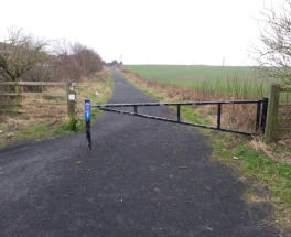
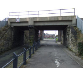
Ryhope to Seaham at Murton © Copyright
Clive Nicholson and licensed for reuse under
this Creative Commons Licence.
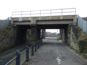
Ryhope to Seaham at Stoney Cut Bank © Copyright
Robert Graham and licensed for reuse under this
Creative Commons Licence.
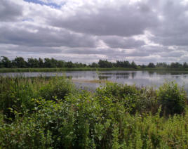
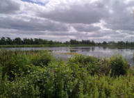
Ryhope to Seaham near Seaton Pond © Copyright
Robert Graham and licensed for reuse under this
Creative Commons Licence.
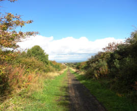
Ryhope to Seaham in Seaham © Copyright JThomas
and licensed for reuse under this Creative Commons
Licence.