© Lorem ipsum dolor sit Nulla in mollit pariatur in, est ut dolor eu eiusmod lorem
OLD RAILWAYS ON HORSEBACK
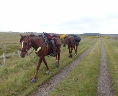
Taff Trail
Tal-y-Bont Reservoir
The Taff trail runs for 55 miles from Cardiff to Brecon, following the River Taff part of the way, and
was once the railway operated by the Brecon & Merthyr Tydfil Junction railway to transport freight
to Cardiff. It opened in 1868 travelling across the Brecon Beacons. Although the company was
almost bankrupt, it purchased the Rumney Railway to form a network from Brecon to Newport.
Close to Blaen-y-Glyn it featured the highest railway tunnel at Torpantau at 667 yards long. All
services had ceased by by 1962 with the goods traffic continuing to serve Brecon from Newport until
1964.
The Rumney Railway originally opened as a horse drawn 4 ft 2 “ tramway in 1826 carrying mostly
coal to the Iron works in Rhymney Valley, and Newport docks.
The section we are covering is from Blaen-y-Glyn to Dan-y-Wenallt Study Centre/ Youth Hostel a
distance of just over 5 miles. Also part of NCN 8, the trail on this section doubles as the Beacons
Way, which diverts onto the Tram Road bridleway at Pen Rhiw-Calch. The area is rich in wild life
and Red Kites as well as many other birds of prey can be seen looking for their next meal.
Grid ref: SO 0550 1744 near Blaen-y-Glyn.
Forestry car park nearby
Grid ref: SO 1079 2058 Top of Tal-y-Bont reservoir
Parking/turning at this location - access across the Dam road.
Brecon and Merthyr Tydfil Junction Railway - Wikipedia
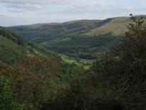
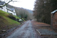
Taff Trail - view towards Glyn Collwn
© Copyright Gareth James and
licensed for reuse under this Creative
Commons Licence.
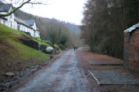
Taff Trail at Dan-y-wenallt study
centre, site of Pant-y-Rhiw station ©
Copyright Shaun Ferguson and licensed
for reuse under this Creative Commons
Licence.
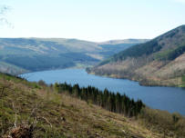
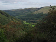
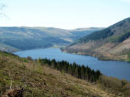
Taff Trail looking over Tal-y-bont
Reservoir © Copyright Gordon Hatton
and licensed for reuse under this
Creative Commons Licence.
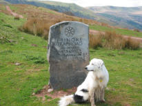
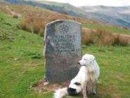
Taff Trail by the Bryn Oer Tramroad
sign © Copyright John Thorn and
licensed for reuse under this Creative
Commons Licence.


